Bayinbuluke Grassland
The Kaidu moves sideways across the basin, bend after bend, and the grass at its edge stays wet.
Bayinbuluke is a high basin in the Tian Shan of Xinjiang, walled in by snow mountains, floor at 2,400 metres. The Kaidu River crosses it, swinging left and right over flat meadow, bending into one arc after another, with marsh between the bends.
- Region
- Xinjiang · Bayingolin
- Elevation
- 1,500-2,500 m
- Area
- About 24,000 km²
- River
- The Kaidu swings back and forth across the meadow
- Listed
- 2013, World Natural Heritage
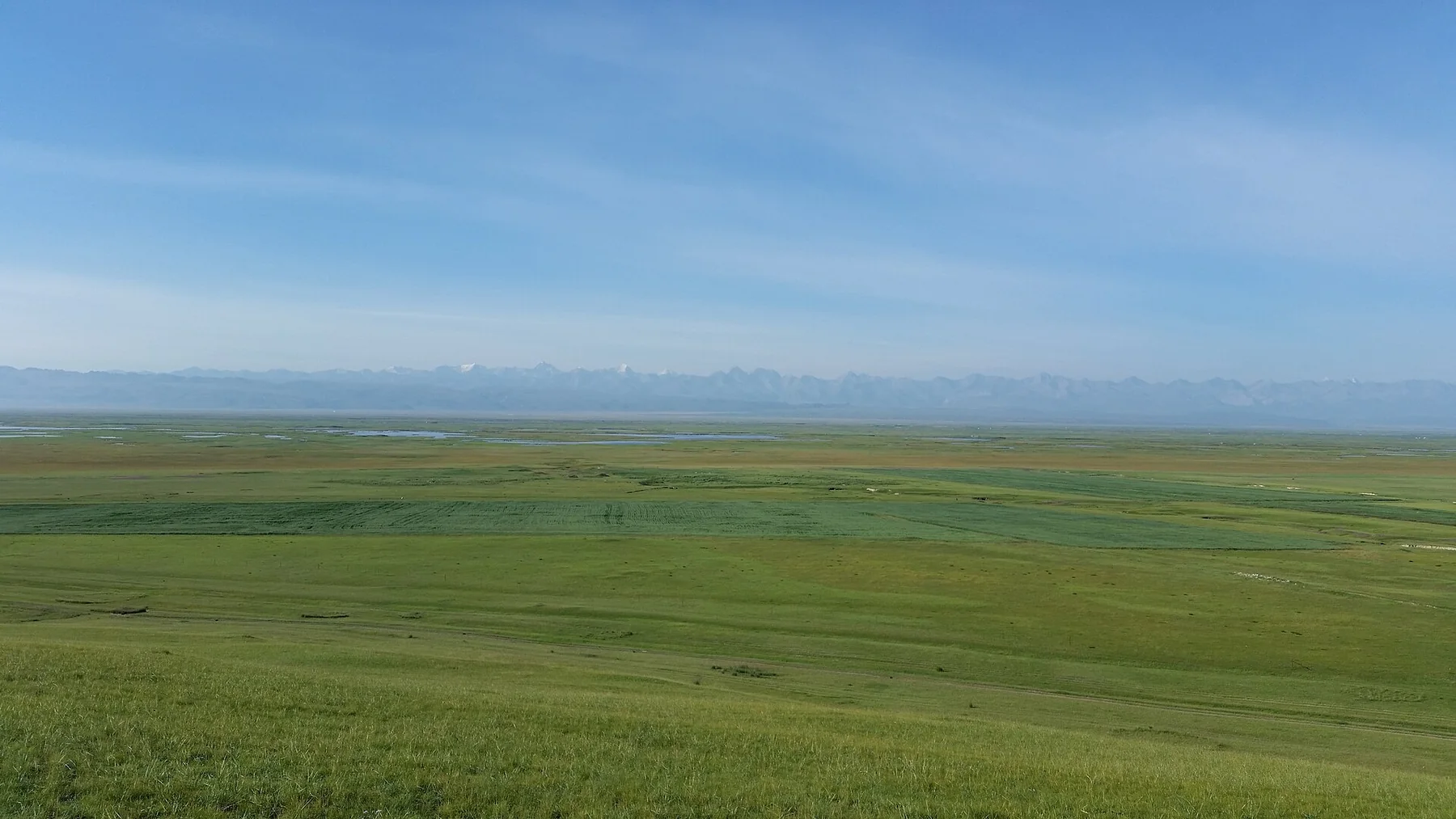
The mountains hold the moisture back and the floor is flat, so the river, once off the snow, has almost no fall to work with. It cannot cut down, only sideways. Moving sideways it slows, drops silt and rotted grass on the inside of the bend, lifts its own bed, and has to look for a way round on the other side. That is how a meander travels, year by year, leaving wet hollows behind it.
Swan Lake marsh
Spring water and meltwater mixed into bog, with reeds and sedge standing in the shallows. The core is closed.
Baxilike
The slope above the nine bends. The river below moves so slowly it looks stopped.
The pass toward Künes
Grassland to spruce forest to high meadow, one after another, showing what altitude does to what grows.
It faces west. At sunset the bends light up one after another and the highlights join into a broken line.
Too little fall, so the river goes sideways
The river comes off the snow fast enough to cut stone. In the basin it cannot. The floor is flat and the channel drops a few tens of centimetres to the kilometre, so there is no spare force to cut down with and it goes looking sideways instead. Having started, it cannot stop: the outside of the bend runs faster and eats the bank, the inside runs slower and puts sand and mud down. The bend grows until the two ends nearly meet, a flood cuts the neck, and the old loop is left as a crescent of water in the grass.
These bends are not scenery. They are marks left by a river with nowhere to fall, and they are still moving.
Grass inside the bend, a cut bank outside
The slope at Baxilike faces west. From the top the river is a set of broken bright strips that do not appear to move. Inside each bend is flat grass; outside stands a cut bank a metre or two high, cut by the water. Where two ends have almost met, a narrow ridge of grass is all that separates them.
A few closed ponds lie on the meadow, crescents wide at one end and narrow at the other, grass standing in them. Those are the abandoned loops.
In the shallows a swan tips forward, tail up. It is reaching for stems on the bottom, and the depth it can reach is shallow, which is why the birds are always where the water is thin.
The river only becomes a line for half an hour
Reflection needs an angle. With the sun high the water is grey and each bend is on its own; at a certain height the whole channel lights at once and the bright patches join. That window is under half an hour.
Summer sunset here comes near ten on the clock, which is the most oblique light of the day and also the coldest, with wind off the snow. Under cloud there is no window at all, only flat grey-green. In September morning mist cuts the bends into sections and only the nearest are there.
The floor is at 2,400 metres, and the temperature drops fast once the sun is off it.
Since the listing the core area runs on a grass-and-livestock balance, some herders moved out, and visitors transfer at the gate. Vehicles no longer enter the wetland.