Qinghai Lake
The lake is too wide to see across, the water is salt, and the one fish in it has to swim up a river once a year.
Qinghai Lake lies in the north-east of the Tibetan Plateau at 3,196 metres. It covers 4,400-odd square kilometres and the shoreline runs 360 kilometres around. From the south shore there is no land in the middle, only water. The water is salt, useless for irrigation, and one species of fish lives in it.
- Region
- Qinghai · Haibei
- Surface
- 3,196 m
- Area
- About 4,400 km²
- Shoreline
- About 360 km around
- Fish
- The naked carp takes ten years to reach half a kilo
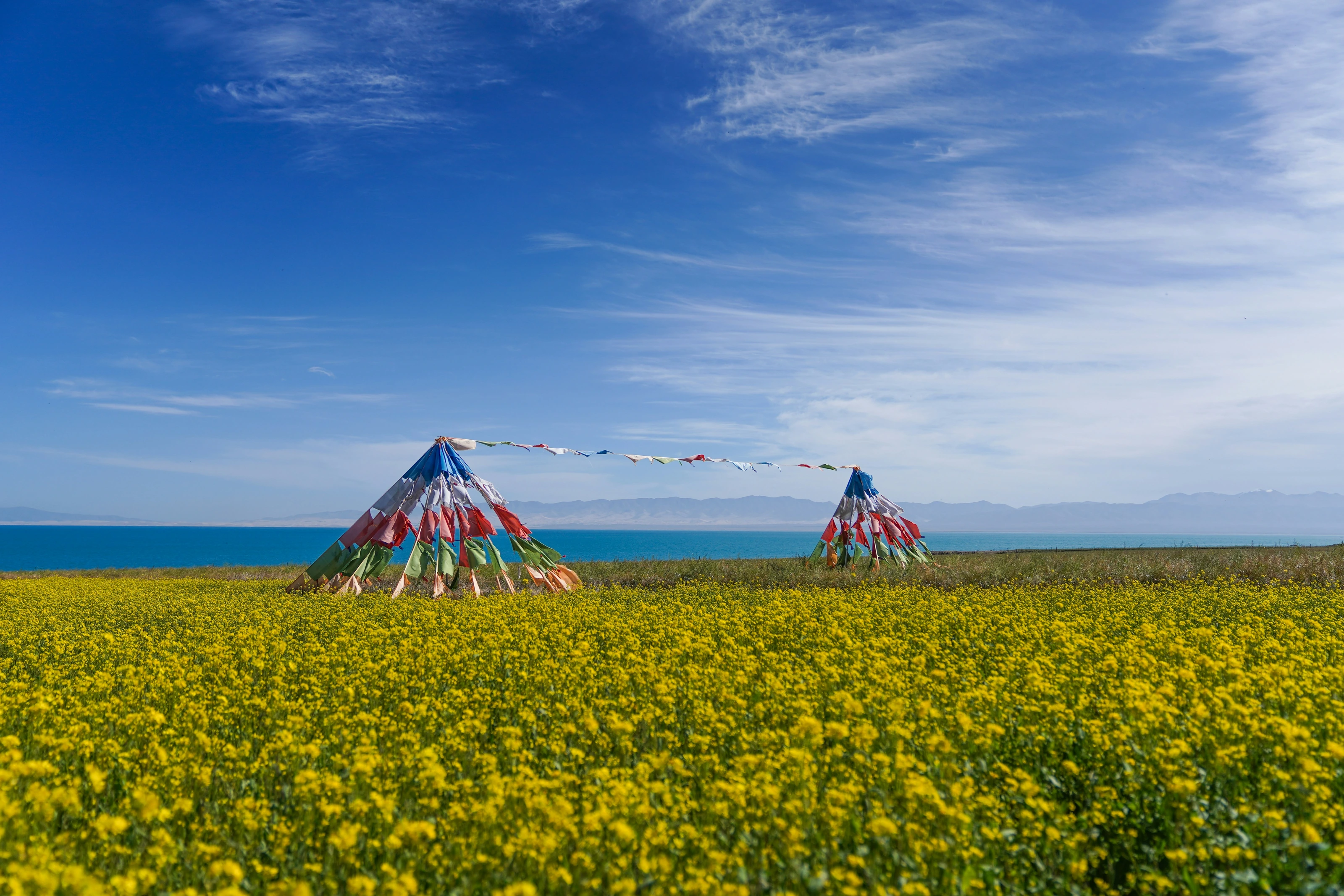
This was once a lake with an outlet, draining east to the Yellow River by way of the Daotang. Then the Riyue Shan area rose and closed it. Water could only leave as vapour, and evaporation does not carry salt away, so the salt stayed and kept accumulating. The lake went from fresh to brackish to salt. The Daotang is named for running backwards: it now flows west.
Erlangjian
A narrow sand spit running more than ten kilometres into the lake. Stand at the tip and there is water on both sides.
Bird Island
The rock island where bar-headed geese and brown-headed gulls nest. Closed to visitors; you watch from the far shore with binoculars.
Sand Island
Dunes on the north-east shore running straight into the water, with no transition between the yellow and the blue.
Before dawn the water is black. Once the sun is up, the band nearest the shore goes blue-green first.
The lake was cut off from the Yellow River
Qinghai Lake was once an outflow lake: the water went east, down the Daotang, into the Yellow River. Then the Riyue Shan rose and closed that exit. With nowhere to go the water could only evaporate, and evaporation takes water and leaves salt. Year on year the lake went from fresh to salt. The river’s name records it: the Daotang still flows, but backwards, west into the lake.
Salty, and far less salty than the sea. It has not been a closed basin long enough to concentrate further.
Old water lines stand on the shore
The shore is not one line. Further back there are parallel ridges of sand set out like steps, and each one is a level where the water used to stand. It left one when it fell and another when it rose, and a few thousand years of that have stacked them up.
The river mouths show something else. From May to August fish push upstream against the current, so thick in the shallows that their backs break the surface as a moving black sheet. This fish grows in salt water, very slowly, half a kilo in ten years, but the eggs do not survive in salt. It has to go back to fresh water to breed.
With wind and without are two different lakes
Early morning the surface is usually flat, the far range lies on it, and the edge is sharp. As the sun climbs the land heats, wind comes off it, the waves build, the water goes from green to grey-blue, and the far side is gone.
At 3,200 metres the cloud moves fast, so the lake is always in patches, one bright and one dark, following the shadows over it. The ultraviolet is strong: half an hour on the shore at midday is enough to burn a face.
The lake stopped falling around 2004 and has risen every year since; old piers and stretches of road are now under water. Bird Island and Sand Island closed to visitors in 2017.