Tiger Leaping Gorge
The Jinsha squeezes between two five-thousand-metre mountains, and at its narrowest the river is thirty metres across.
Tiger Leaping Gorge runs between Diqing and Lijiang in Yunnan. Haba Snow Mountain is on the west bank and Yulong on the east, both above 5,300 metres. The Jinsha passes between them at about 1,800 metres, so the drop from the ridge tops to the water is close to 4,000. The gorge has three sections and runs sixteen kilometres.
- Region
- Yunnan · Dêqên
- River level
- About 1,800 m
- Peaks
- Yulong 5,596 m, Haba 5,396 m
- Depth
- About 3,800 m
- River
- The Jinsha, turning northeast here
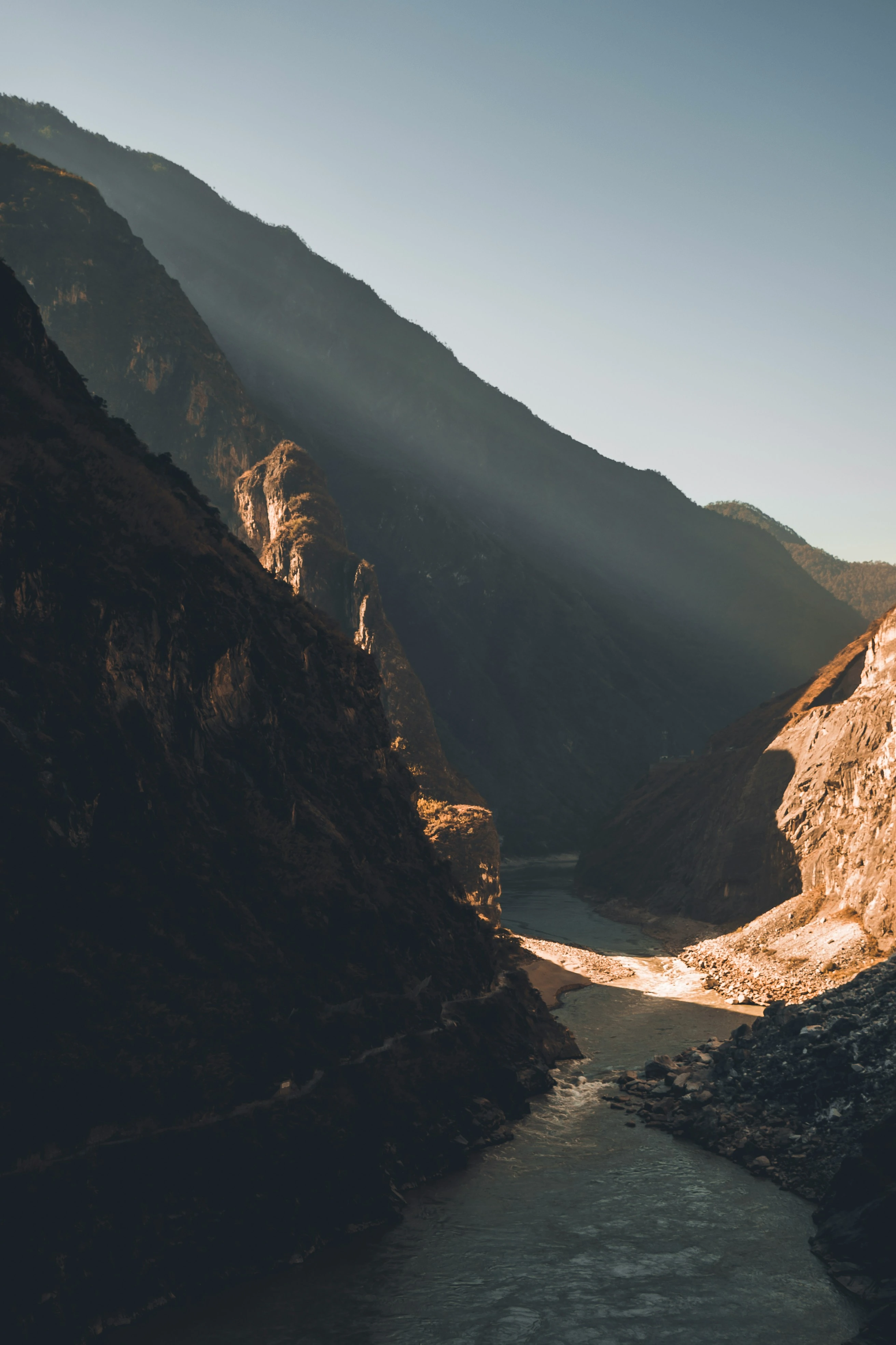
The Hengduan ranges are rising and the Jinsha is cutting down, and the two happen at once, so the channel stays locked in rock and only gets deeper. The river has nowhere else to go. It climbs with the range and cuts at the same time. The fall is concentrated into sixteen kilometres, the channel is narrow and the gradient is steep, which leaves the water one speed.
Tiger Leaping Stone
A boulder mid-river with water forcing past both sides, highest where it squeezes. The name comes from the story of a tiger crossing on it.
Twenty-eight Bends
The steepest stretch of the High Trail, folded into twenty-eight switchbacks, climbing over 400 metres.
The river at Middle Gorge
A steel ladder pinned to the cliff drops 300 metres from the road to the water, which closes together at your feet.
The river gathers into one thread a few dozen metres away. The sound overrides speech and the railing is shaking.
The river and the mountain cut at the same rate
The range is rising and the Jinsha is cutting, and while the two rates stay close the valley cannot open out. Uplift is fast, the river keeps after it, and the walls never get time to be eaten back from the sides, so the gorge stays a narrow deep cut. If uplift eased, the river would spend its force widening, and this would become an ordinary valley.
The walls as they stand say the uplift is still going. The rock is schist and metamorphic, hard enough to break to a square edge and hold it.
The hollows sit metres above the water
The flat rock beside the river is full of round hollows, some big enough to sit in. These are potholes: water spins sand and pebbles in a depression and grinds a hole, and the deeper the hole the stronger the vortex and the faster it grinds.
What matters is where they are. Many stand several metres above the river, and a pothole can only be ground in a riverbed. The river ran at that height and has since cut lower. The holes are marks left by a bed that has moved.
Tiger Leaping Stone in mid-channel did not come from upstream; at this gradient the water cannot move a block that size. It came off the wall: the rock was cut by joints, fell into the channel, and the water could not shift it, so it stayed and narrowed the river. Its edges are still sharp, which puts the fall not very long ago.
Water colour and light
After storms upstream the river runs yellow and the waves stand two or three metres, and the railing on the viewing platform shakes under a hand. In the dry months the water is green, and the shape of the stones underneath shows through.
The gorge is deep, so the floor is late to see the sun. In the morning light reaches one wall’s top only and the water stays in shadow; at midday it falls straight onto the river. The high path has no cover and enough wind to take a hat off.
The drop from the road to the river at Middle Gorge is three hundred metres, the last stretch on iron ladders bolted to the cliff, and coming back up takes several stops.
The upper gorge has a boardwalk and a lift. The middle gorge is still a villagers' path, with a few yuan to pay at the gate.